AI Cartography Toolkit

Our AI Cartography Toolkit

We turn raw satellite scenes, field data and logistics signals into maps teams can actually use. Clean layers, sharper forecasts, fewer manual clicks. Why keep redrawing the same geography when the model can do it for you?

5 core service pillars
24/7 automated geospatial monitoring
API-ready delivery for ops teams
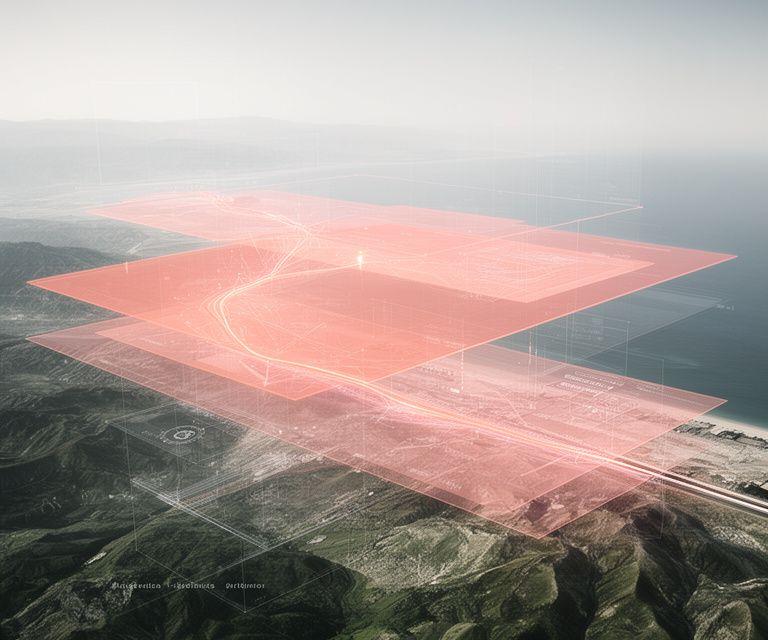
Processed satellite map with layered route intelligence over a coastal logistics corridor

Core Capabilities

Five pillars. One workflow. From noisy geodata to decision-ready maps, the stack is built to save hours, reduce error and keep spatial intelligence moving. Which part slows your team down most?

AI-powered map data processing

We clean, standardise and structure raw geodata so your layers stop fighting each other. The pipeline handles messy boundaries, inconsistent attributes and duplicate features without turning every update into a manual rescue job.

  • Normalises incoming spatial feeds into a consistent schema
  • Flags anomalies before they enter your production maps

Geospatial automation

Repetitive GIS tasks are ripe for automation. We build triggers, rules and repeatable spatial jobs so analysts can focus on exceptions, not endless exports. Isn't that where the real value sits?

  • Scheduled layer refreshes and batch processing
  • Automated quality checks across map outputs

Predictive mapping models

Our forecasting models estimate land use pressure, corridor growth and infrastructure change before it becomes obvious on the ground. That gives planners a head start, not a retrospective.

  • Scenario-ready outputs for investment and planning teams
  • Trend layers that highlight likely change zones

Navigational AI for logistics

Routes, depots and delivery windows need more than a static map. We tune navigational AI for fleet behaviour, service levels and real-world constraints so logistics teams get better guidance, not just more data.

  • Route intelligence designed around operational priorities
  • Supports deliveries, field service and asset movement

Automated feature extraction

We identify roads, roofs, terrain changes and other key features straight from satellite imagery. That means faster mapping cycles and less time spent tracing pixels by hand. Simple enough, right?

  • Feature detection for road networks and structures
  • Useful for change detection, audits and asset visibility

Delivery that fits your stack

Every output is built for practical use. Dashboards, APIs and files can slot into existing workflows without forcing a platform rebuild. That's the point.

  • Structured hand-off for internal tools and partners
  • Clear documentation for technical and non-technical users
How A Project Comes Together

A good mapping project should feel calm, not chaotic. We break the work into four clear stages so you know what’s happening, when it’s happening and why the next step matters.

1

Data ingestion

We pull in satellite imagery, sensor feeds and whatever spatial sources you already trust. Missing fields? Mixed formats? We handle the rough edges early.

2

AI processing

Models classify features, separate noise and extract the map layers you actually need. The result is cleaner, lighter and far easier to work with.

3

Validation and QA

Our geospatial checks compare outputs against source evidence and business rules. No black-box hand-off. If something looks off, we catch it before launch.

4

Delivery and integration

Maps, layers and predictions can land in your dashboard or through an API. Want a direct feed into operations? That’s the cleanest route.

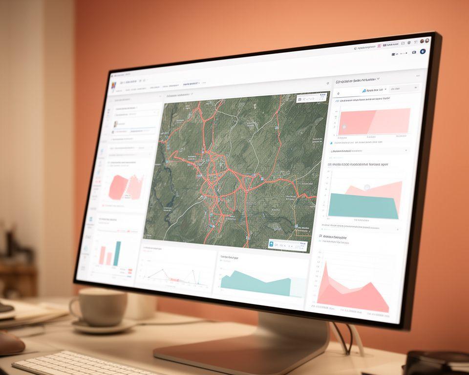
Analyst dashboard showing land use predictions, route overlays and extracted terrain features in a warm workspace

Built for teams that move fast

The hand-over is designed for planners, analysts and operations leads. We keep the language clear and the outputs easy to reuse. Why bury the useful parts?

Validation first. We check the geometry, the labels and the edge cases before anything reaches your team.

Dashboard-ready outputs give stakeholders a readable view without needing GIS training.

API delivery keeps the data flowing into internal systems, partner tools and reporting stacks.

Let's Scope Your Mapping Project

Got a messy geodata pipeline, a satellite archive waiting for structure, or a logistics network that needs smarter routing? We can map the route from raw inputs to a working solution. Give us the brief, and we'll help shape the build.

Call +353882573111 or email [email protected] to start the conversation.

Sharper map layers for planning, logistics and asset intelligence.

Automated extraction that saves time on every survey cycle.

Flexible delivery that fits your systems instead of replacing them.

This website uses cookies to enhance your experience and analyze mapping traffic patterns.