Accuracy before speed
Automated map data only matters if it’s precise. We tune our pipelines to reduce false positives, preserve spatial context, and keep outputs ready for human review.
We started TerraGrid AI because map work was too slow, too manual, and too dependent on guesswork. In Dublin, we kept seeing logistics teams wrestling with messy datasets, delayed updates, and satellite images that held answers nobody had time to extract. Why should clean spatial intelligence take weeks?
Our answer is a practical one: automate the repetitive parts, keep experts in control, and make every output traceable. That blend of AI automation and cartographic judgement is what our clients come for.
Our Guiding Principles
We don’t chase shiny outputs. We build systems that can be checked, trusted, and improved. Isn’t that what business clients actually need when the data feeds routing, planning, or field operations?
Automated map data only matters if it’s precise. We tune our pipelines to reduce false positives, preserve spatial context, and keep outputs ready for human review.
Predictive mapping helps logistics teams cut miles, avoid idle time, and plan with less churn. Better routes can mean lower fuel use and a calmer operation.
When AI processes satellite imagery, we show how features are found, scored, and flagged. Clear provenance builds confidence. Simple, but vital.
The Team Behind The Maps
We’re a tight team, not a giant room of strangers. Each person brings a different lens to the same job: turning complex geospatial data into something clients can use on Monday morning. Who does what?

AI Engineering
Arun builds the automation core, from feature extraction models to validation logic that catches edge cases before they hit a dashboard.
Geospatial Science
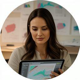
Siobhan shapes the spatial rules that keep our outputs aligned with real-world cartography, especially where boundaries and route logic get messy.

Client Operations
Marcus turns technical delivery into something clients can actually steer, with timelines, checkpoints, and straight answers when they need them.
Our Journey So Far
We began with satellite imagery partnerships and a stubborn belief that map production could be smarter. Since then, the work’s widened into logistics navigation and predictive planning. What changed most? The confidence clients now place in the system.
Milestones
We like progress you can point to. Not hype, just milestones. Each one changed how we build, test, and deliver geospatial automation for business clients.
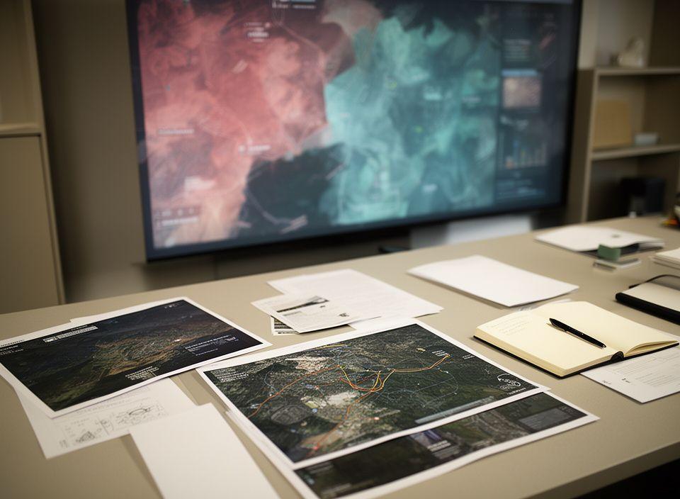
We partnered with satellite imagery providers and built the first extraction pipelines that could isolate roads, parcels, and infrastructure without hours of manual tracing.
Route intelligence became a natural next step. Clients needed guidance that responded to live constraints, not just static maps, so we expanded into navigational AI.
As the client base grew, so did the need for forward-looking spatial insight. We now support teams planning capacity, coverage, and movement with far more confidence.
What clients tend to notice
“We speak plainly, we document our methods, and we keep the geography honest.” That’s the standard we set for ourselves. If a model can’t be explained, why should a client trust it?
Built in Dublin, delivered across logistics and geospatial teams.