Talk To Our Cartography AI Team
Got a mapping brief, a satellite workflow, or a fleet routing challenge that needs a sharper answer? Send us the details and we’ll respond with a clear next step from our Dublin office at 8 Ballygall Place.
We keep the conversation practical. No fluff. Just a fast path to a demo, a scoped pilot, or a partnership discussion that respects your timelines.

Tell us what maps, layers, or workflows you’re trying to automate. How soon do you need a prototype?
We work with clients across Ireland and beyond, from logistics teams to geospatial product owners.
Send Us A Message
A short brief is enough to start. What data do you have, what outcome do you want, and where’s the bottleneck? We’ll take it from there.
Find Our Dublin Office
We’re easy to reach and even easier to brief. Want to visit before the project kicks off? Here’s the practical view of where we work and when we’re available.
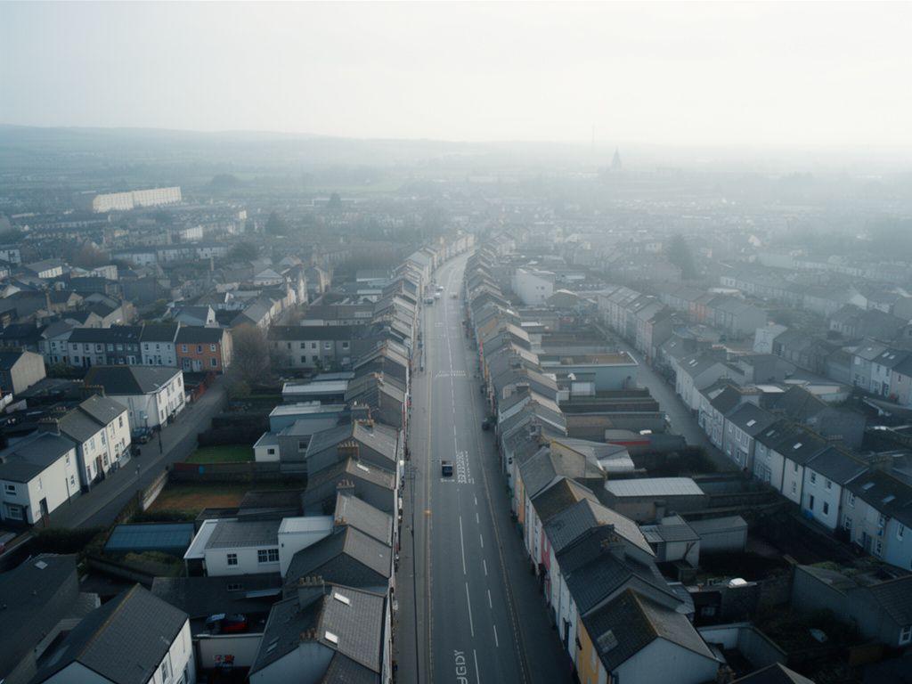
8 Ballygall Place, Dublin
Our office sits in a straightforward part of the city. Need directions for a meeting, or just wondering if we’re close enough for an in-person workshop?
Office hours
- Monday to Friday: 09:00 - 17:30
- Saturday: By appointment
- Sunday: Closed
Good for
- Demo sessions
- Project scoping
- Partner conversations
Best next step
Send a message first. Why turn up without a plan when we can prepare the right dataset, slides, and examples for you?
Common Questions
We get these a lot from logistics teams, public-sector groups, and technical leads. If you’ve got a similar question, chances are the answer is already well shaped.
How quickly can a mapping project be scoped?
Smaller discovery pieces can be scoped in a few working days once we’ve seen your data examples. Larger automation programmes usually need a short workshop first. We’ll tell you what’s realistic before anything gets signed off.
Do you support custom satellite imagery sources?
Yes. If your workflow depends on a specific provider, format, or refresh cycle, we can usually build around it. The key question is simple: what do you need extracted, and how dependable does it have to be?
Can navigational AI integrate with existing fleet software?
That’s often the point of the work. We design for API-led integration where possible, so your dispatch tools, route planners, and dashboards keep doing their job while the AI improves the decisions behind them.
Ready to start the conversation?
Tell us what’s broken, slow, or manual in your geospatial workflow. We’ll reply with a clear plan, not a vague promise.